A weather radar app for Windows that answers "when will it rain?"
A radar map is good at showing where a storm is. What you usually want to know is when it arrives overhead, and that is the part most apps leave you to guess. This weather radar app for Windows does the arithmetic for you.
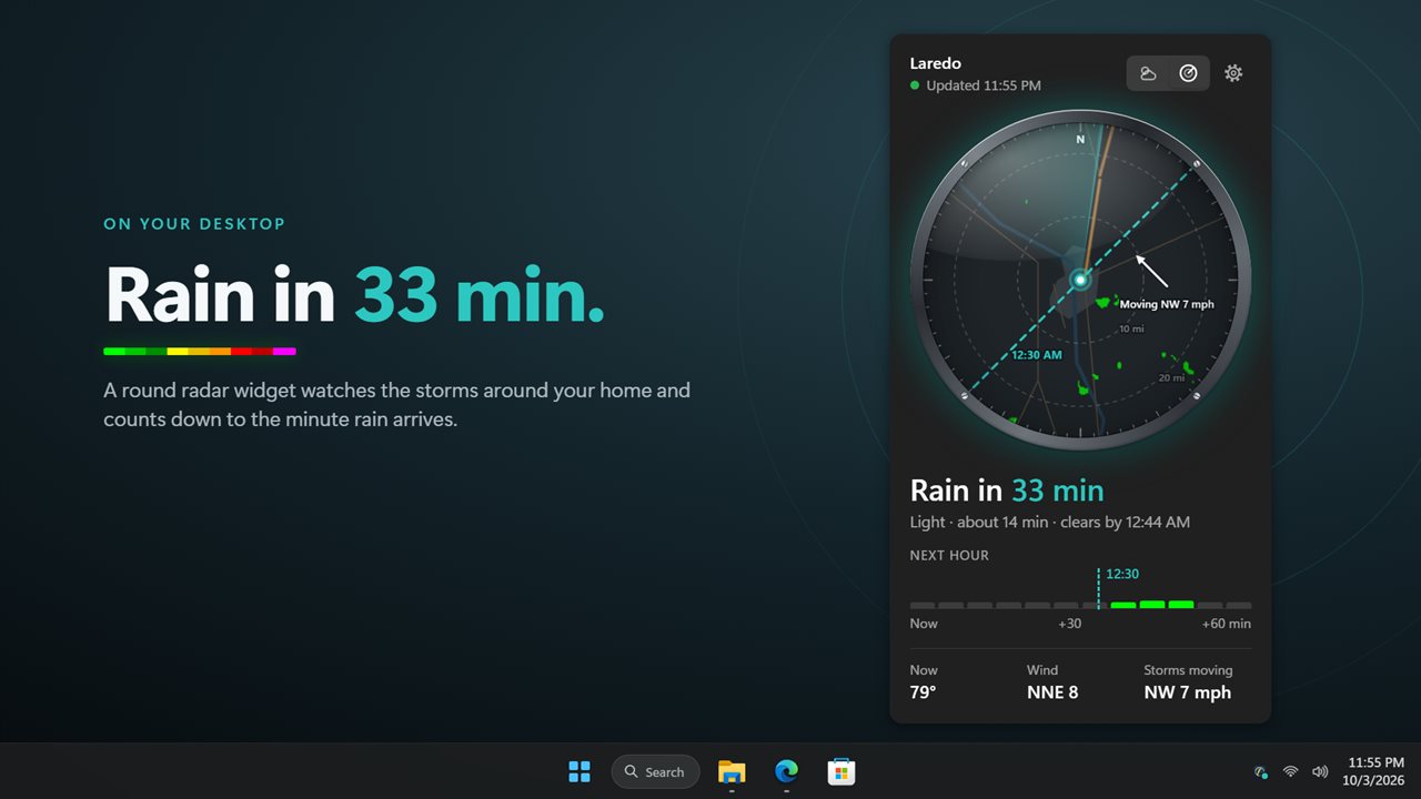
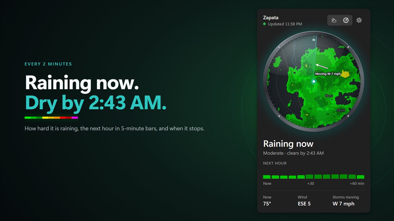
Every couple of minutes it takes the live NOAA radar picture within about 75 miles of your location and compares it with the frame before. From the difference it measures the heading and pace of each band of rain, then slides the picture forward an hour. The result is a minute-by-minute countdown to rain at your location, an estimate of its duration, and the hour ahead split into 5-minute bars.
That forward hour is the newest radar image moved along the storm's track, not a separate forecast model. It is a nowcast, which is exactly what you need before you walk the dog, leave for the station or decide whether to bring the patio cushions in.
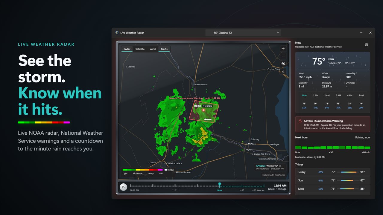
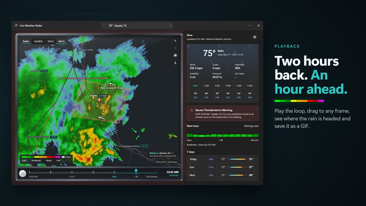
Live radar loop with storm direction and speed
Open the full radar window and press Play the loop to run the last two hours of radar followed by the projected hour. Arrows show the direction and speed storms are moving, and towns around you are labeled with the time rain should reach each one, which is handy when family lives across the county.
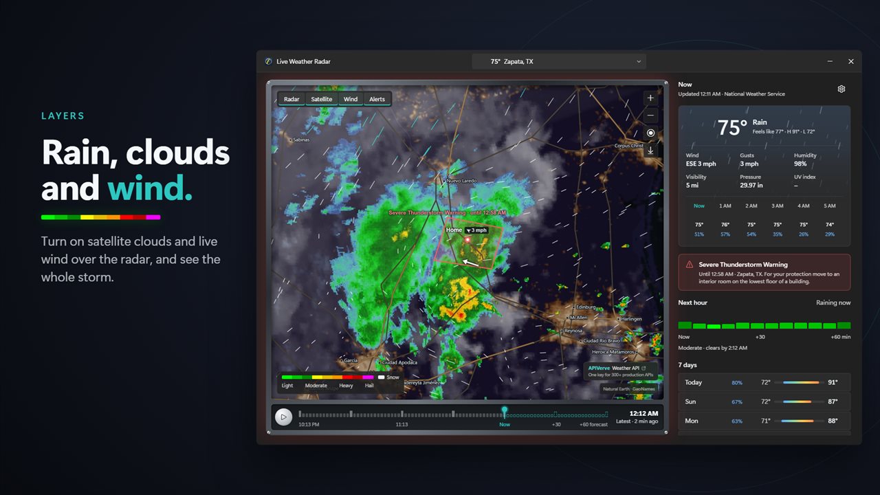
Layers adds satellite cloud imagery and live wind to the same map. Go to my location snaps the view back home, and the search box centers the radar on any town. Save the loop as a GIF writes the last hour and the projected half hour to your Downloads folder, ready to drop into a group chat.
Rain alerts and severe weather warnings on your PC
Each notification can be switched on or off in settings:
- Rain on the way, with How much warning set anywhere between 5 and 30 minutes.
- Rain about to stop, so you know when it is worth heading out.
- Hail, when hail is moving toward you.
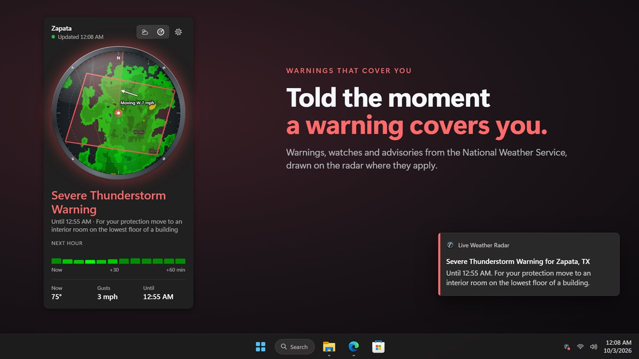
- Warnings for my location, for any NWS warning, watch or advisory whose drawn area includes you. The tray icon goes red while one is active.
- Morning briefing, delivered at the time you set in Briefing at.
A round radar widget for the desktop
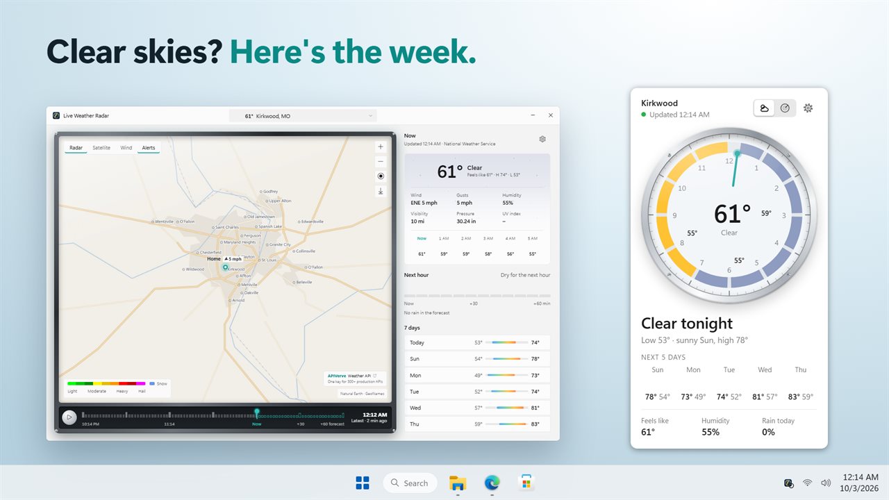
The widget is a circular dial that sits on your wallpaper. With Shows set to Automatic it shows local radar while showers are close by and switches to Current conditions when skies are clear; you can also fix it to Radar or Current conditions. Theme offers Light, Dark or Frosted, Size scales it, and Sits chooses between On the desktop and Above other windows.
The forecast side gives readings from your closest observing station, an hour-by-hour look at the coming day, and seven days ahead. Units switches between °F, mph and miles or °C, km/h and km.